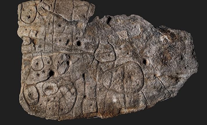
Large Bronze Age Stone May Be Europe’s Oldest 3D Map
Jan Bartek – AncientPages.com – The 4,000-year-old piece of rock, called Saint-Bélec Slab has been re-examined and a new analysis shows it may be Europe’s oldest 3D map. Originally found in Brittany, France in 1900 the stone slab has been kept in the cellars of the Musée d’Archeologie Nationale in Saint Germain en Laye, west […]